

Map Information
Map Navigation (PC)
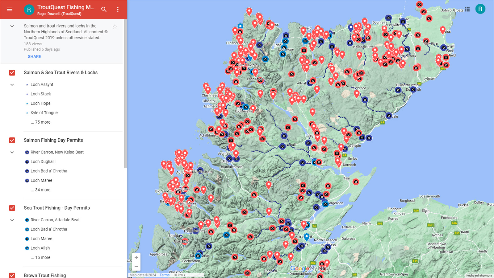
Each of the Fishing Area pages includes an embedded map which defaults to that approximate area. These are essentially just custom views of a single larger map covering the Northern Highlands.
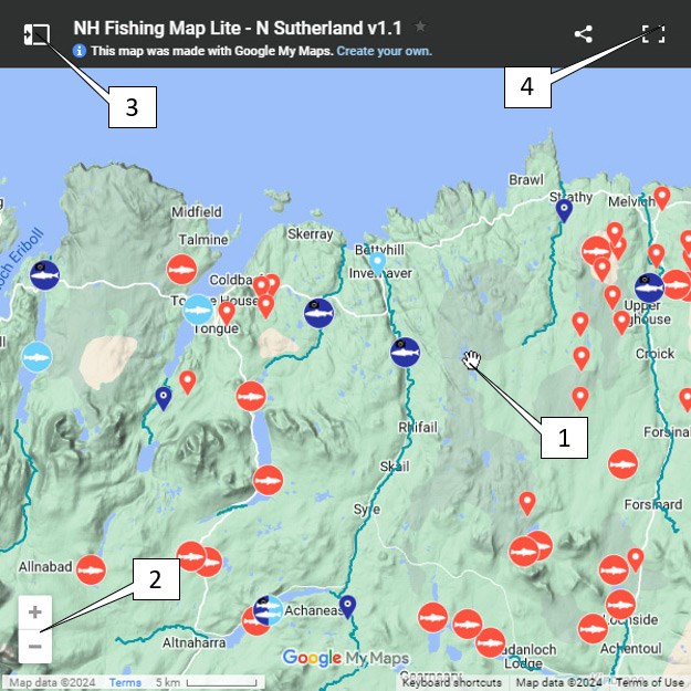
- To move around the map, hold the left mouse button down and move the hand cursor.
- To zoom in or out use the +/- buttons or use the 'ctrl' button + scroll.
- Click on this button to display the map legend, where individual map layers can be turned on/off.
- Click on this button [ ], to go to a full screen view in a new tab. The legend/map layers panel will appear on the left hand side (see below).
Map Layers
There are a number of different map layers that can be switched on/off that overlay the Google basemap (layer 0 here). For most visiting anglers the most useful of these will be the top 5 layers, which hold the location and database information for salmon, sea trout and brown trout fishing.
- Basemap - this can be switched between the Google topographic and satellite image basemaps.
- Salmon Rivers - This layer highlights the rivers to improve their visibility, but does not provide information on individual fisheries.
- Fishing Services - This layer shows the locations of fishing tackle outlets and permit providers.
- Rainbow Trout Fisheries - There are several stocked rainbow trout fisheries in the region; most in Easter Ross and the Inverness area.
- Brown Trout Fisheries - Boat - This layer shows the locations of 150 lochs, that offer wild brown trout fishing by boat.
- Brown Trout Fisheries - Bank - This layer shows the locations of 150 waters, mainly lochs, that offer brown trout fishing by bank/wading only.
- Sea Trout Fisheries - This layer shows the locations of some sea trout fisheries, mainly in estuaries, but also some lochs.
- Salmon Fisheries - This layer provides basic information on the major salmon rivers and lochs in the area.
Pin Data
Pins are styled dependent on the primary fish species at the fishery, and in some cases other attributes also. A simple colour scheme denotes species: brown trout - red, rainbow trout (stocked) - orange, sea trout - light blue, salmon - dark blue, coarse fish - green.
The shape of pin provides additional information such as boat/bank fishing and status of the fishery.
 |
Brown trout fishery - boat fishing available |
 |
Brown trout fishery - bank fishing only |
 |
Rainbow trout fishery - boat fishing available |
 |
Rainbow trout fishery - bank fishing only |
 |
Sea trout fishery - primary |
 |
Sea trout fishery - secondary |
 |
Salmon fishery - primary |
 |
Salmon fishery - secondary |
 |
Mixed salmon/sea trout fishery |
 |
Mixed brown trout/pike fishery |
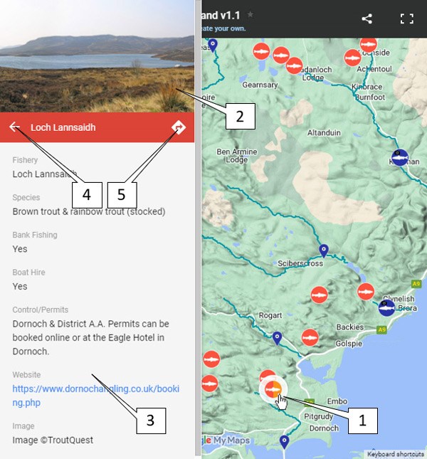
- If you select any map pin in the embedded or full screen map a linked data panel will slide in from the left hand side.
- If there is a photo associated with the pin it will display here. NB: the photo will be of the loch/river featured, but may not have been taken at the precise location of the pin.
- Data associated with this pin will be displayed below the image, including contact details for permits, and linked websites where available.
- Click on the left arrow to hide the pin data panel.
- Select this arrow button to bring up the standard Google map for this location which will include driving directions etc.